MNG
Main Roads Western Australia - LiDAR and Imagery survey of pedestrian pathway network using an electric bicycle
MNG is an early adopter, and key player in the LiDAR (airborne, mobile) market in Australia. RIEGL is proud to have a strong relationship with MNG which now spans more than a decade. This interesting project is just one of many that MNG have taken on, using their innovative style and in-house expertise to accomplish the most difficult of tasks in the surveying and mapping industry.
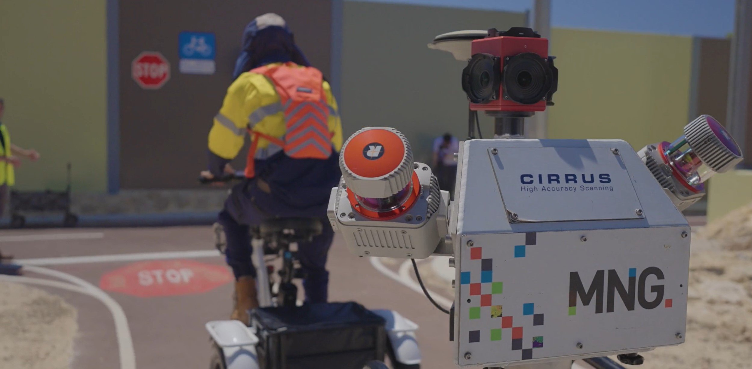
Matt Chapman, Senior Engineering Surveyor Main Roads Western Australia, “Main Roads are undertaking a project called the network lidar project which involves capturing pointcloud and imagery data across the whole state network. The data will be used to inform safety star rating as part of the National Road Safety Action Strategy. A vehicle mounted mobile laser scanning system wouldn’t be able to run on the PSP (Principal Shared Path) networks, so we asked MNG to put together a system that would safely capture point cloud and imagery data for all PSP’s in the (Perth) Metro area”.
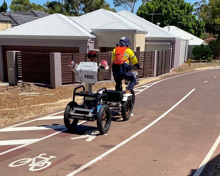
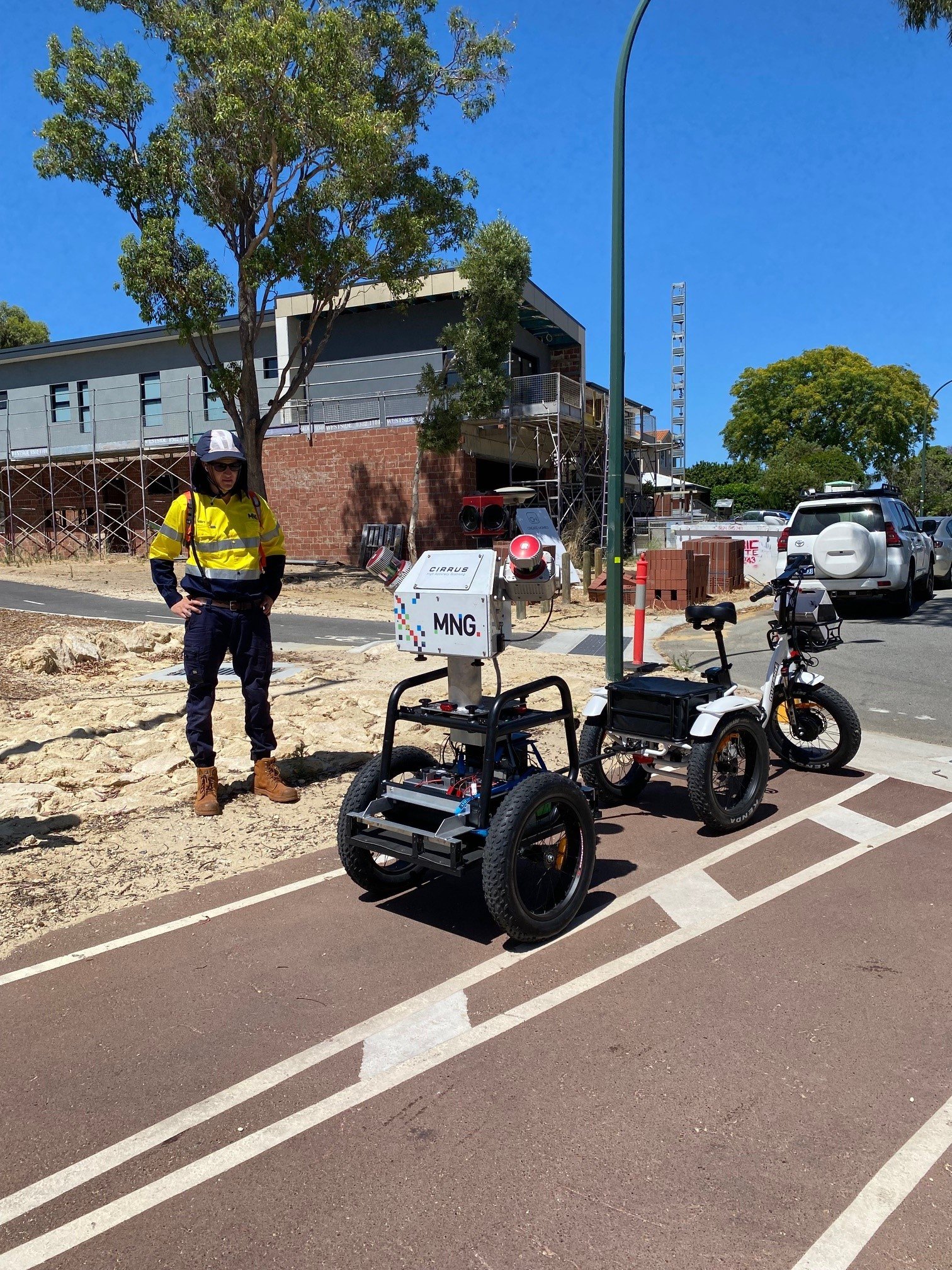
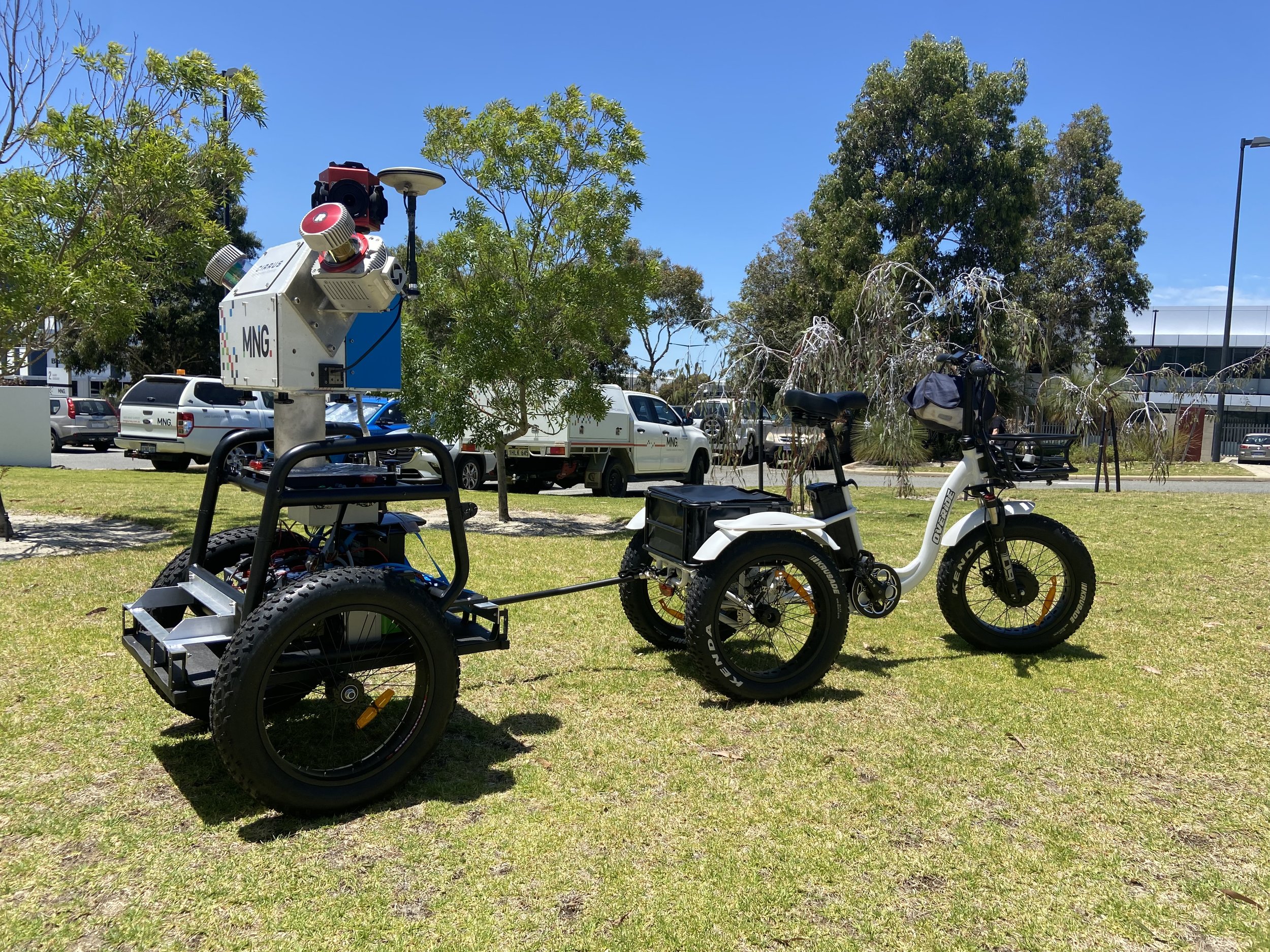
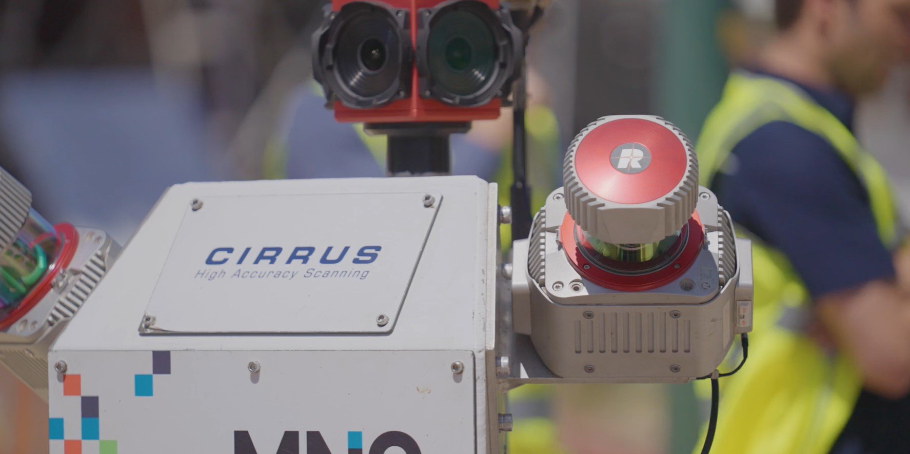
Ryan Cribb, Project Manager at MNG summarizes the companies novel approach as follows. “MNG adapted on of their usual mobile laser scanning systems (usually fitted to a Toyota Hilux) to fit into a portable e-trike system that was adapted to Main Roads and met all of the pre-defined safety standards. The final innovative solution makes use of 2x RIEGL VUX-1HA laser scanners, a Ladybug 5+ RGB 360deg camera, GPS and IMU for positioning and orientation, which is all supported by a power pack located beneath the measuring head thats towed behind the e-trike.”
Mr Chapman, “The data will be used immediately to assess if PSP's meet the design standards and conform to modern newer network (standards). Things like roadside hazards such as trees, fences, power poles, and also to assess grade and curvature of the network to make sure that its safe for cyclists”
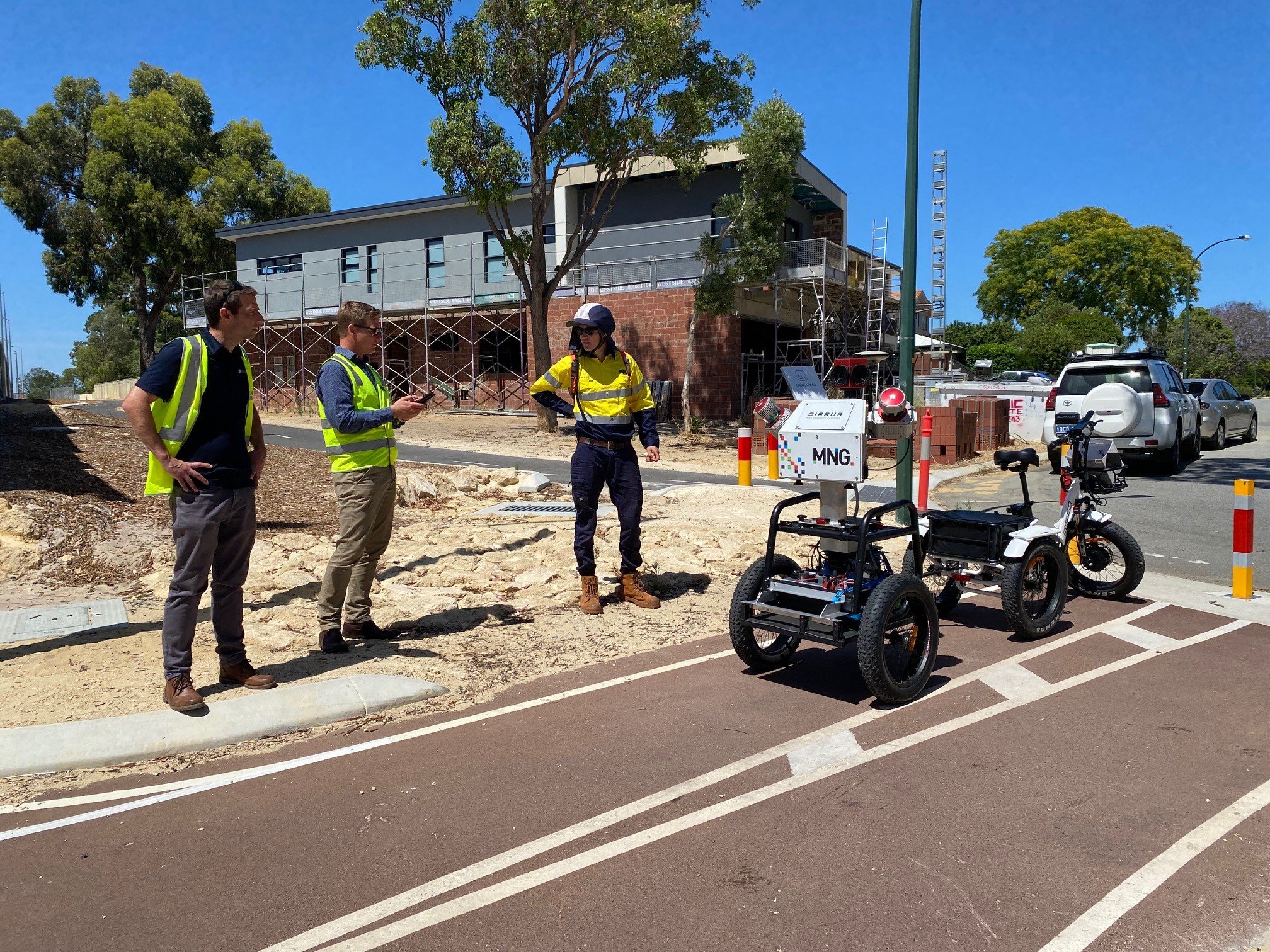
Images below showcasing the mapping system built and operated by MNG, Perth, Western Australia;
