Case Studies

Airborne Laser Scanning
Mobile Laser Scanning


Unmanned Laser Scanning

Terrestrial Laser Scanning
Aerometrex
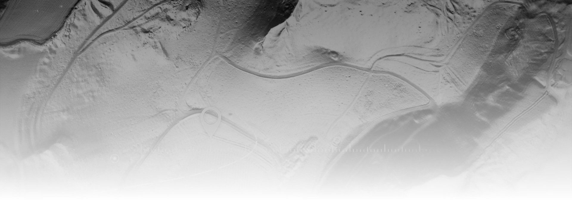
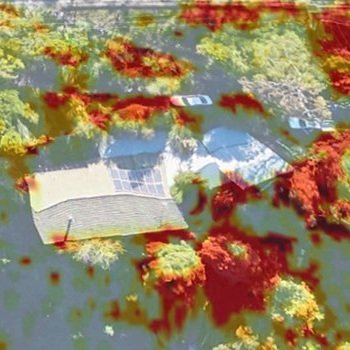
World’s first bushfire fuel load mapping system using Riegl LiDAR technology

Airborne Research Australia
Topographic airborne LiDAR survey over bush fire ravaged land in South Australia