Case Studies

Airborne Laser Scanning
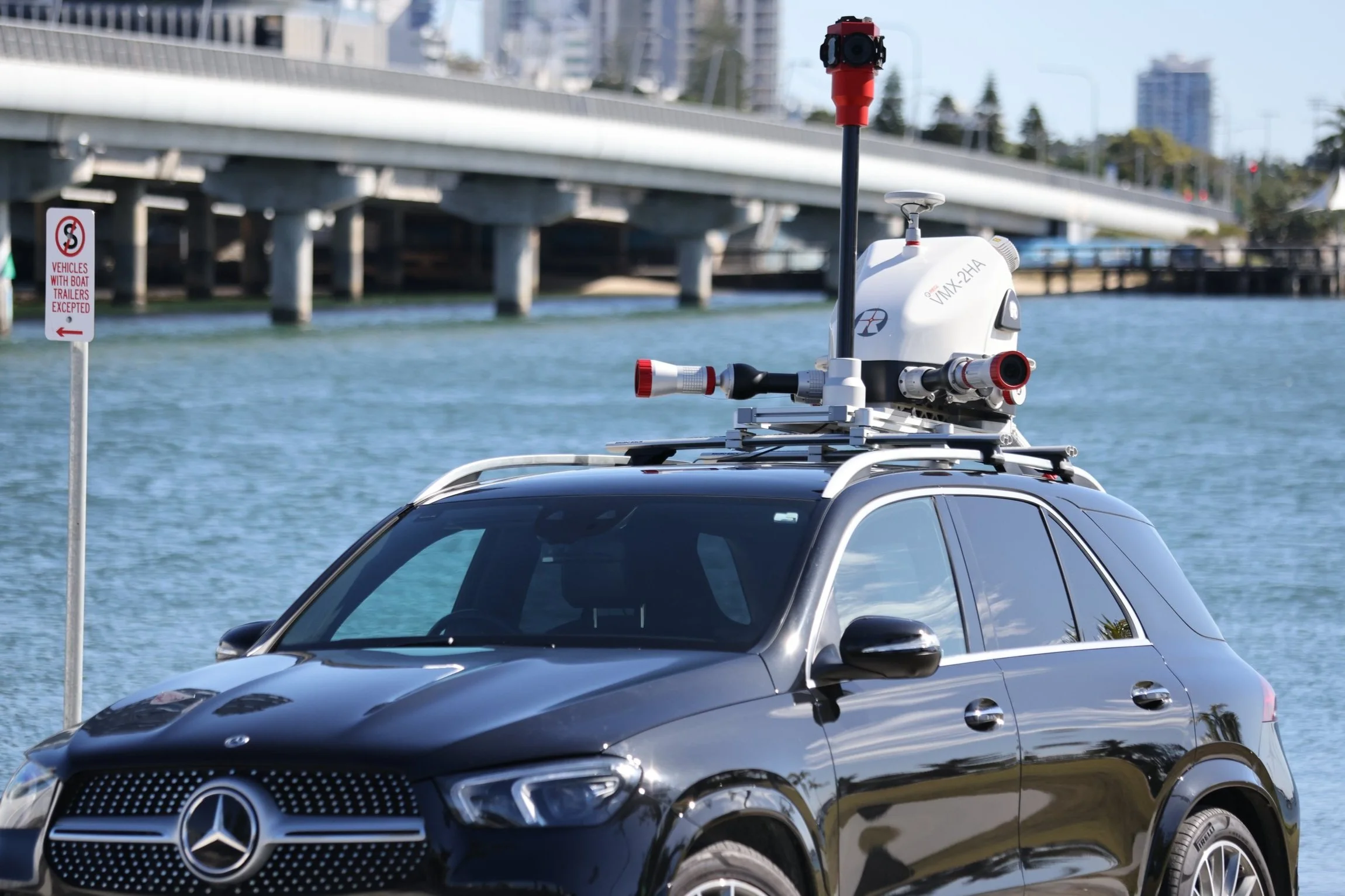
Mobile Laser Scanning

Unmanned Laser Scanning

Terrestrial Laser Scanning

Royal Australian Navy
Royal Australian Navy Trial Bathymetric Lidar Sensor During Exercise Sea Raider

Bennett + Bennett
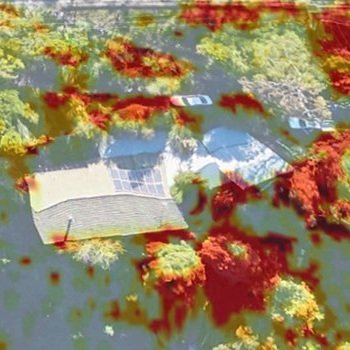
Landslide sites surveyed and monitored for subsidence using Riegl LiDAR in Tweed Shire, NSW

University of Canterbury
Scientists use LiDAR to map environmental impact following an extreme weather event in New Zealand
Aerometrex
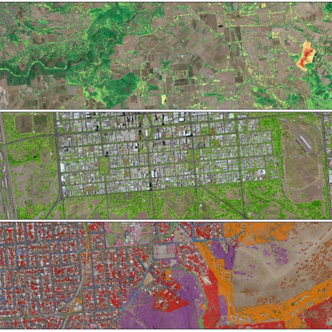
World’s first bushfire fuel load mapping system using Riegl LiDAR technology

Altavec
Altavec uses LiDAR and AWS Machine Learning for bushfire prevention

Altavec
Altavec uses LiDAR and AWS Machine Learning for bushfire prevention

MNG
Kings Park Feature Survey using mobile and airborne laser scanning
Aerometrex
Urban Tree Canopy Management and LiDAR

Airborne Research Australia
LiDAR bathymetry of Ningaloo Reef NW-Western Australia

Airborne Research Australia
Topographic airborne LiDAR survey over bush fire ravaged land in South Australia

Beon Aerial
LiDAR on powerlines to locate encroaching vegetation and prevent bushfires in Victoria, Australia