Case Studies

Airborne Laser Scanning
Mobile Laser Scanning


Unmanned Laser Scanning

Terrestrial Laser Scanning

Arbormeta
Arbormeta utlise laser scanning technology to combat environmental crises
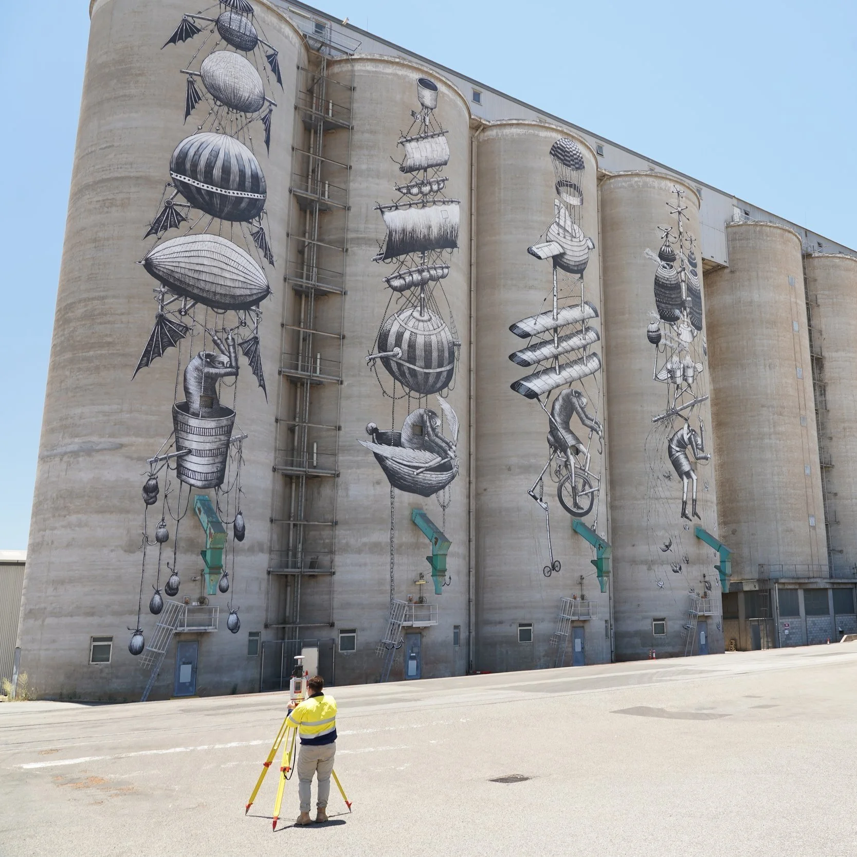
RM Surveys
Detailed laser scan of CBH Group's main grain terminal in Western Australia

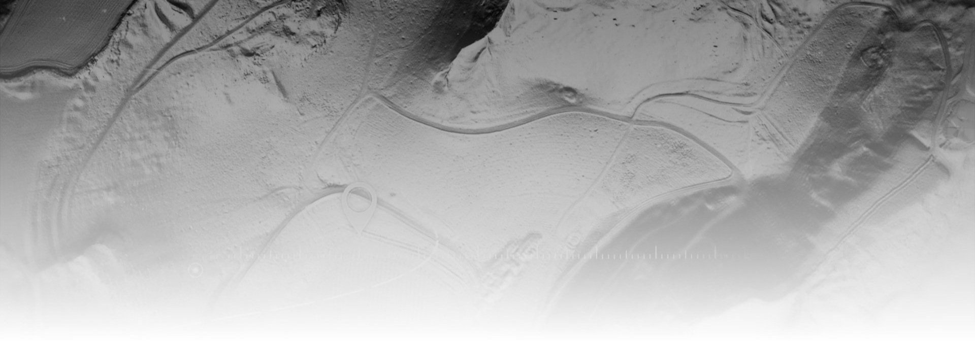
Milford Road Alliance
Topographic mapping for snow avalanche hazard modelling

ESO Surveyors
ESO Surveyors use the RIEGL VZ-400i laser scanner to generate highly detailed 3D digital twin models of transportation and utility corridors

Gertzel
Detailed laser scan of a rail corridor including surrounding road networks and terrain

Dept. of Environment (Qld)
Monitoring gully erosion in Great Barrier Reef catchments

Denada
Improving the delivery of Lidar data over Tailings Storage Facilities in the Australian mining sector