Gertzel
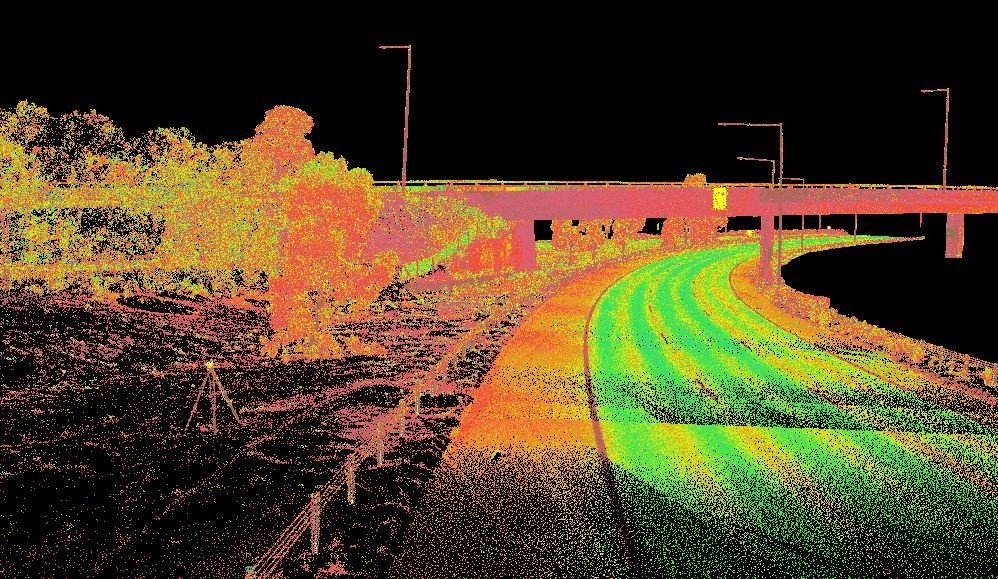
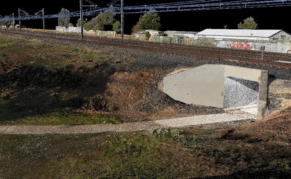
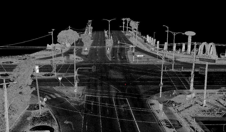
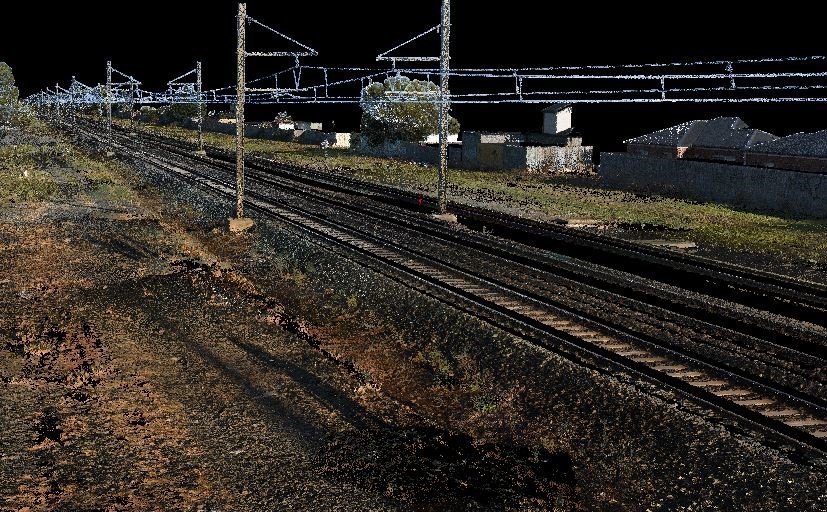
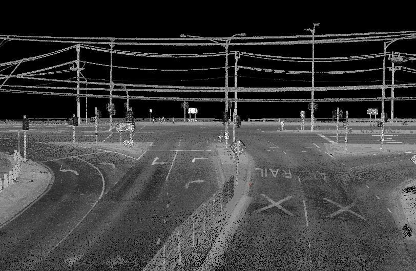
Detailed laser scan of a rail corridor including surrounding road networks and terrain
Project
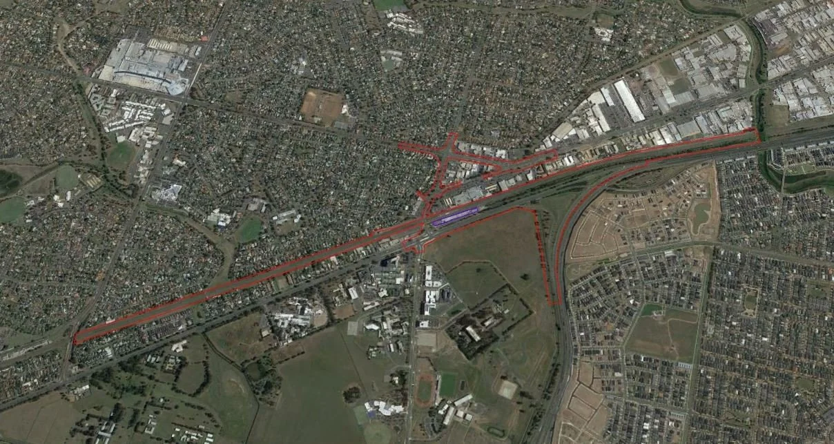
The project required a detailed scan of a rail corridor including surrounding road networks and terrain
This was split into three sections:
Section 1 – rail corridor
Section 2 – arterial roads and park reserve
Section 3 – arterial roads, freeway and freeway reserve
Summary –
5 days – establishing ground control – GNSS for horizontal control, digital level for vertical
9 days scanning day shift – 756 scans with photos covering 4 kms rail corridor approx. 45m wide, 2kms road and road reserve, 1 km of parkland reserve
6 nights scanning – 560 scans without photos. Covering 3kms of road and 1km of freeway reserve.
Scan parameters: 40mm @ 50m horizonal and 20mm @50m vertical resolution
Auto reflector scans on the scanner was turned off as there were too many shiny objects in the area. Instead they were picked from the panorama image on the instrument screen, and then automatically scanned.
Office Workflow
Import data into RiScan Pro after each day’s work – normally when driving home
Once setup at home – run camera mounting calibration – apply to images
Then colourise scans
Run filters
1 range 80m
2 deviation, reflectance and colour
3 isolated point
Run Automatic registration 2 overnight
Clean up individual point clouds of people, cars, scatter, noise etc…
Import survey control
Run MSA 2 to adjust scan data to control network and report residuals and results
Open all scans and copy sections of points into new pointclouds then run an octree of 10mm XYZ.
Export sectioned pointclouds for extraction and deliverables.
Import, colorization, filters and Automatic registration 2 done on each day’s data and took 2 -3 hours each night (100 scans)
Cleaning scans – once I had an office day I could probably clean 100 -250 scans a day depending on amount of detail that had to be cleaned.
MSA 2 – final MSA2 took about 4 hours

