Case Studies

Airborne Laser Scanning
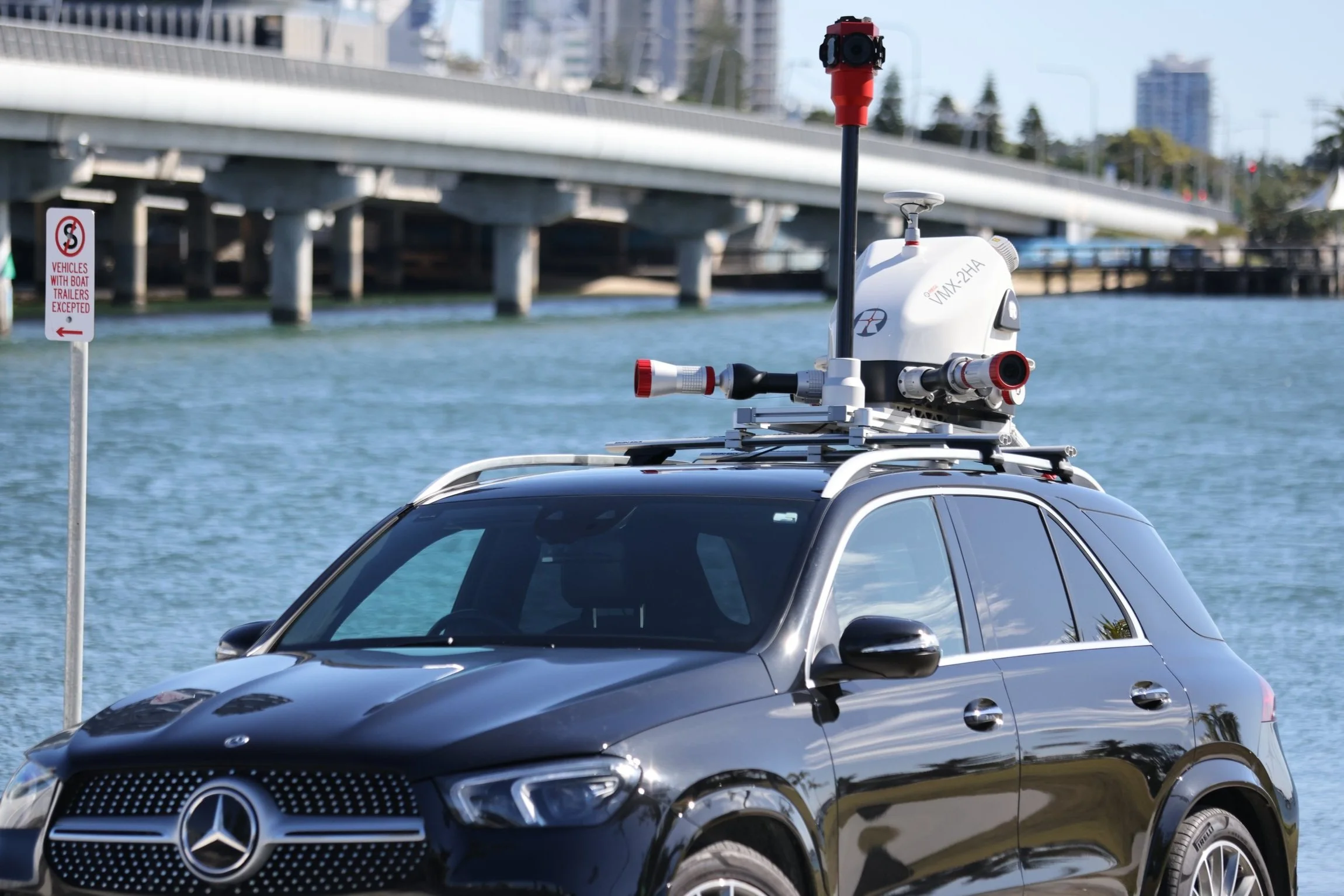
Mobile Laser Scanning

Unmanned Laser Scanning

Terrestrial Laser Scanning

Royal Australian Navy
Royal Australian Navy Trial Bathymetric Lidar Sensor During Exercise Sea Raider

Bennett + Bennett
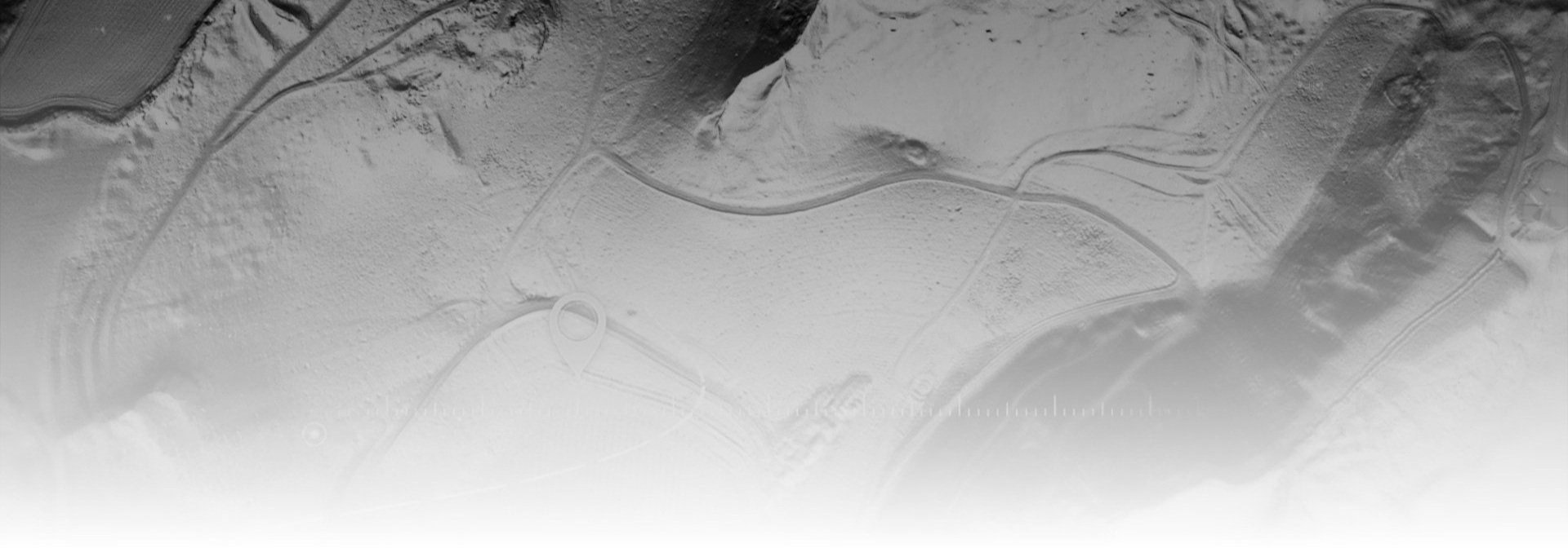
Landslide sites surveyed and monitored for subsidence using Riegl LiDAR in Tweed Shire, NSW

MNG
Kings Park Feature Survey using mobile and airborne laser scanning

Airborne Research Australia
LiDAR bathymetry of Ningaloo Reef NW-Western Australia